

10eighty
-
Posts
30 -
Joined
-
Last visited
Content Type
Profiles
Forums
Gallery
Posts posted by 10eighty
-
-
And now it is printing to PDF the way I was expecting

-
I'm not sure if this answer is helpful, but I will make polylines over the counter tops and then make a polyline the size of the specific slab size. Then I can Tetris the countertop pieces on to the slab to figure out how many slabs I need. And Fab is per foot, so I can macro label each countertop piece and do some math.
Cheers,
-
Hey guys,
I was wondering if any of you guys might know why my PDF's are showing up transparency gray while the print preview is showing up the way I would like the PDF to show. I have spent hours trying to figure out what might be causing it. Everything looks great until it gets to PDF. Hopefully the pics explain the situation. It's basically the text boxes where I have transparency set to the fill, and the driveway which I also have set the same way.
Thanks in advance.
UPDATE.....
Just in case anybody runs into this situation. So after pretty much attempting to eliminate any possible cause, I ended up creating a new layout file and adding each item until the problem occurred. It would seem that when I break my saved plan view layout box to fill in some of the blank areas in the layout page (why not, I thought it looked cool), it seems to be causing the gray in the layout box. Bring it back to a rectangle and whalla, back to how I want it to look. I don't have time to dig in further right now, But I will later and update this post.


-
11 minutes ago, Renerabbitt said:
Honestly I would have to rebuild it, I can't recall what plan I did it for and I did not save the system unfortunately. The load calc part is complicated, the panel label schedule is less complicated.
I can imagine... I don't have to do them often, but load calcs keep coming up. I've been just doing a basic schedule with simple spreadsheet for the circuits. Thought i'd poke around and see what you studs have been doing. Hope you are well buddy.
-
On 1/19/2022 at 5:52 PM, Renerabbitt said:
I've done one, uses custom fields and symbols. It also creates a panel schedule. I add a custom field for circuit, and that circuit can have an amp value which can report to a load macro. The a schedule that is split at side 1 and 2 and organized by macros called zone
the end results in a schecule that looks like a panel label and the load is stores in a global macro that can be put on a separate sheet.Its a bit of work to wrap your head around but works really well once youve got it put together
Good morning Rene. Out of curiosity, how advanced is this custom schedule? and do you have it for sale by chance?
Cheers
-
Holy BALLS!!!!!! What kinda sorcery is this??? LOL. Damn @Alaskan_Son I hate to admit that while I sent off my coordinates to be uploaded, I accidentally opened up a door to pandora's box of Macros. Very interesting! with a stupid rough learning curve I might add! I have purposely been avoiding this door for obvious reasons. I will probably reach out to you tomorrow. I would like to learn more!

-
@Alaskan_Son k, huge relief! Wish I could Venmo you a nice cold IPA to help mend the fence
 . I'll be on my best behavior from here on out!
-
12 minutes ago, Alaskan_Son said:
In this case, the whole thing can actually be almost completely automated super easily (numbering and all) with even some built in macros. Not going to go over every step, but you can easily use notes, a note schedule, custom object fields, x_location attribute, y_location attribute and a quick copy paste to spreadsheet.
WARNING: Explicative laced side rant to follow...
I don’t know who you are, but it really really &$&:#+% pisses me off when people downvote @solver, @Signatures, and other invaluable users for suggesting people provide their information (and possibly post a plan). It’s this type of thankless and ignorant arrogance that drives a lot of us to stop sharing or at least share a lot less or with a much smaller group of users. Some of you guys out there obviously have no clue how much these little details matter, or how frustrating and utterly exhausting it gets having to repeat the same &*#% instruction over and over again because people are too lazy to invest a little effort themselves or because some less proficient and less helpful user thinks the details don’t matter. I promise you, the details matter. They really do. The last thing I want to do is spend 15-20 minutes of my valuable time explaining a method that won’t even work for the user. This is a prime example. The best solution we have in X11 was entirely impossible in X9, and even some of the old less effective solutions are entirely impossible in the highest level Home Designer product. In addition, we have even better solutions available in X12. If you think someone is going to sit down and walk you through every single one of them though you have another thing coming. Help us help you people.
P.S. That wasn’t aimed at you Randy, although I would suggest you update your signature.
Yikes! Signature is changed. This hadn't occurred to me, but your point is well noted. The last thing I want to do is waste your guys time, and @solver has bailed me out more than once. Did I downvote somebody somehow? If so I can assure you it was by accident. I truly appreciate this discussion group!
Cheers,
-
 1
1
-
-
6 minutes ago, Chopsaw said:
I had not considered renting one but that sure would be handy in some situations. Let me see if I can figure something out for you that will work.
I might be getting somewhere????? lol. Wonder how I get the macros to change the point number. hmmmmm
And Chopsaw, every once and a while when you end up with those difficult not flat lots, using a total station does a remarkable job getting your exact locations. When I did this several years ago, the foundation guy wanted 3' offsets on each corner so he could "square everything up". So instead of shooting 50 points, it turned into 150. and at the end of the day, the "actual" corners I shot turned out so good he didn't even use the offsets. Once you can get the coordinates in a CSV file, the place you rent the station from will upload them and you just need to shoot them.
Cheers,

-
3 hours ago, Chopsaw said:
I have successfully used bearing lines and distances with a traditional transit and measuring tape from an established benchmark plotted on my site plan but do not have access to a total station as I suspect most people do not. It is definitely not an auto function in chief but with a little study and perseverance it could likely be done. Not familiar with ASCII formatting but you can get X and Y as well as Elevation values from Terrain Elevation Points. It may just require a little work with macro's.
Hey Chopsaw, Fortunately, I have a local outfit that I can rent a total station from. $100/day for the non-robotic, and $250/day for the robotic. The non-robotic is the one I have used in the past but it takes two people and a bit of time. But small investment to get super accurate corner locations. And good call on the macros
-
1 hour ago, Alaskan_Son said:
By the way, this can also be further automated in a number of other creative ways using various object types and schedules. Are you actually still in X9?
Man!!!!! every time I think I'm getting good with this program I turn another corner and realize I don't know as much as I had hoped. Macros you say lol... All I really need to do is get the coordinates of these points into a CSV file. That being said, it wouldn't suck to have this little diagram with some labels as to which point is where. Any recommendations on which training video a guy might watch to get some basics on "semi" simple macros?
And no, I am actually using x11 currently.
Thanks for the response Michae
 l
l

-
And as an update, I have been successful in exporting my site plan into AutoCAD 2017. Then placing points on my building corners. Using the "data extraction" in AutoCAD I am able to convert the point coordinates into an Xls file. I think I will be able to re-sort the data into the ASCII format for the total station. Stay tuned ...
-
Hey guys,
Does anybody have any suggestions for importing point coordinates into a total station? Several years ago I had a program called Traverse PC in which I drew up a house outline and gave it a reference point and uploaded the info into a Nikon total station and staked out a 10,000 S.F. house. It worked super well, but I can't seem to find the software. So now I am looking for a simple way to put the point coordinates into an ASCII format to upload them. I created a layer set with just my CAD (from the surveyor) site plan, and located one of the property pins as X-0 Y-0, and started putting point markers on the corners of the building envelope, but the point markers don't seem to be showing up coordinates in the control e dialog box. I was thinking of just doing a very minimal layer set and exporting to CAD and then trying to find a way to export the point coordinate information to ASCII format to upload to the total station. Just thought I'd run it by you guys in case anybody has done anything similar.
And I should probably add that I am not a licensed surveyor. I am building a house where the rear property pins are 30' down a steep embankment. I want to locate my building corners accurately so I can modify and redesign my foundation plan with steps to accommodate a daylight basement. Due to the elevation drop, we can't really stake this thing out even close to accurate. I will also add, that I have done this before and all of my 150 points were within a dime.
Thanks in advance,
Randy
-
2 minutes ago, solver said:
Check out the walls on the first floor. They seem to work OK. Maybe a problem with the wall definition?
I was literally just fighting with the downstairs when you replied. What did you do? When I do it on my plan, They frame through the party wall. Did you change anything? Maybe I messed up my defaults??
-
3 minutes ago, joey_martin said:
When you flip a plan..ie...edit area or copy/paste in place....anyway. The walls that end up butting into one another will join as one wall. You will most likely need to break those interior walls so that you can adjust the new ends to butt where you want them to.
Hey Joey,
I thought of this too, and I broke the interior walls and tried snapping them into place several times. It didn't work ;-/ By the way, that was an accidental picture upload, i can't see where to remove it.

-
Hi Eric,
I had tried this, and I just tried it again and no luck. I think I screwed something up. Grrrrrr.
-
So I'm about ready to take a bath with a toaster!!
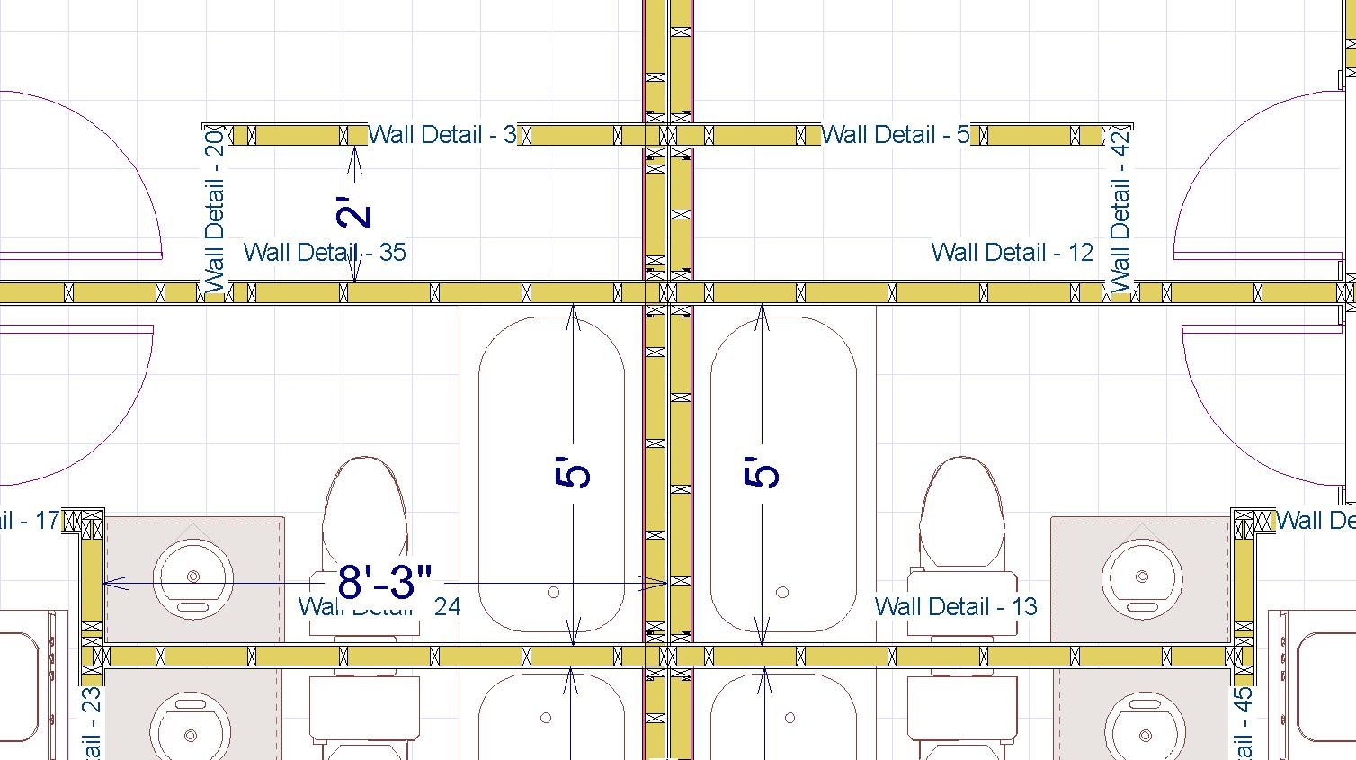
So I'm not quite sure where everything went wrong, Everything was going smooth, I copied my plan and reflected it upon the perfect line. Great copy, good dimensions. But then when I created my fire separation wall all my framing got screwed up. Ive been fighting with it for hours. I feel like I am missing something pretty basic. The problem is the party wall should be continuous and for some reason, all the stupid interior walls keep going through it. I have toggled just about everything I can think of, broke and remover every interior wall from the party wall, snapped and unsnapped walls
 . And I have scoured the internet and forums. Do any of you guys see what I am missing?
Thanks in advance,
Randy


-
Hey Eric,
You always save the day ;-) So your approach would be to manually draw in foundation walls for the level 2 garage on level 1, and then remove the garage foundation from level 0?
-
Yes, technically the front of floor 1 is underground, and floor 2 (the main level) has the garage. But it seems by doing it this way nothing seems to connect floor 0 and floor 2 as far as the garage goes. I just raised the floor 0 elevation to meet the floor 2 garage. Sorry, I'm having a difficult time trying to explain my concern. Is this how you would handle this circumstance? In other words, Floor 0 to carry the garage foundation Floor 1 for the daylight part of the house no garage, and then Floor 2 for the garage. Sorry in advance lol
-
So I have this house I'm working on that should have been a straight forward 2 story with daylight basement. But for some reason, they want to put a crawl space under the "basement" floor. It's on a slope, and I personally would have just built it into the foundation. So here is the situation.... I changed the foundation floor plan to floor 1, the 1st floor to floor 2, and the bonus room over the garage to floor 3. Then I built a new basement under floor 1 with standard foundation heights. Then changed floor 1 walls to 8" concrete walls for the retained underground walls. The weird part is that the garage is technically floor 2 and I have nothing on floor 1 for the garage, and the foundation for the garage is on the foundation level. So I changed the heights the best I could to bring the foundation up, but I'm not getting cutouts for the garage doors. Is there a better way to address this situation? oh, and I attached the x9 plan file, its pretty haggard but it should open lol
Thanks in advance,
Randy


-
Hey guys,
I like printing my site plans on 8.5 x 11 paper. Is it possible to add an 8.5 x 11 sheet to my layout file? I have a hell of a time printing letter size to scale. Does anybody have any advice?
Cheers,
Randy
-
Thank you so much Eric!
")
-
Hey Guys,
I'm finally getting the hang of manipulating the roofs, but I constantly have problems with the darn attic walls coming through the ceiling. No matter what I change in the wall specifications I can't seem to fix it. Does anybody have a trick?
Cheers,
Randy

-
Thank you Western Design, I felt that was the case, I'm in the process of trying to learn Layer and annotation sets. In the process, I have been successful in displaying different dimensions on different layer sets, so I think I'm on the right track.


Printing to PDF is different than what's showing up on Print Preview
in General Q & A
Posted
Hey Adam,
I had posted my original problem on the FB group. When I posted here I had actually removed one of the possible factors, but the problem still remained. @Renerabbitt, the GOAT ;-), commented on the FB group and had mentioned that...
"you will run into limitations in the PDF print drivers for things like this regardless of the software being used. PDF format has been long due for a serious overhaul..its very old tech with mild revisions through the years"
There are a lot of things going on when we are choosing line weights in plan view and sending saved plan views to layout. Probably some redundancies, and maybe contradictions of what we are trying to have produced. Everything I send out is printed through "Chief Architect Save As PDF" and physically printed at one of our local print shops. 80% is submitted digitally at this point and the governing entity will mark up and return the PDF's for print. I usually go through my digital pdf's thoroughly to check that I didn't have the electrical layer set to 18 or something like that. I try and make sure everything is crisp before I send the digital pdf in for review.
If the Digital PDF is clean, usually after it takes it course the prints end up clean. Which brings up something I find very strange... I used to always set my DPI at like 600 thinking it was making a "crisper" PDF. I've had a couple massive plans that would be gargantuan size that I was having a hard time sending digitally due to the 20+mb file size. I digitally print everything at 144 DPI now and my file sizes are small and I can't seem to notice the lack in quality. I bring this up because if I had a large format printer, I think I would send everything out of chief to digital PDF, and then sent the digital PDF to the plotter. It would help isolate the line weight discrepancies. But it sounds like you have been doing that and it still is behaving strangely.
And my situation seemed to be entirely based on adding a break to my layout box. Once I "simplified the polygon" all the weird transparency issues went away. Hopefully this post will save somebody hours of keyboard head banging.
Cheers,